

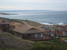
The satellite image above (34 06'29.00 S 18 22'42.66 E) shows the low density housing and farmland in the area (Click onto the image for a more detailed view).
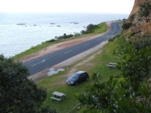
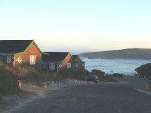
This is an excellent, quiet location with no / negligible domestic electrical noise sources to contend with. By additional good fortune a gravel road runs from the DX location towards North America. This allows for a quick and easy set up of the 220 metre BOG along the left hand side of the road.
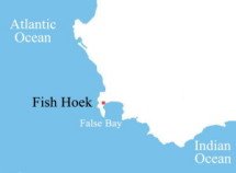
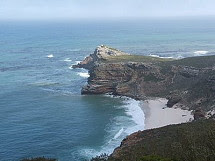
The DX location is less than 2 km from the NW coast and only about 5 km from my QTH in Fish Hoek :

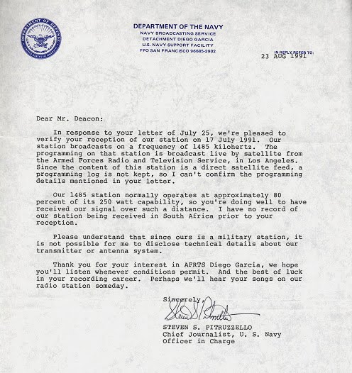
The FRG 7 and SRF-M37V 's selectivity issues don't seem to present a problem here in the Cape Peninsula, especially during good reception conditions. Propagation peaks are received with astonishing clarity via the wide bandwidth on AM, as indicated by the audio clips on the right hand side of the web page.


No comments:
Post a Comment